Understanding Beijing's historic axis line


China, even after almost 35 years, can still be a learning experience, with situations or approaches fundamentally different from what I was familiar with back in Scotland. Consider 1992, I was based at an excellent educational establishment in suburban Guangzhou. As a geographer, I was very familiar with maps. Naturally I was curious about how different were the world charts I was seeing on classroom walls. China was at the center, while those I was familiar with in Scotland were based on the Mercator Projection, placing Europe and Africa in the middle. I was intrigued, fascinated with this different concept of position or place.
Chinese friends introduced me to the characters 中國(guó) and the pinyin, zhong guo. They explained how this translates into Middle Kingdom (or country). How it also reflects a perception of China's several thousand years of history and evolution of civilization. Knowing something of this I believe is essential toward a deeper understanding of China today.
So how does this translate into my ongoing passion for Beijing? It comes from having a curiosity derived from an academic background in historic geography.
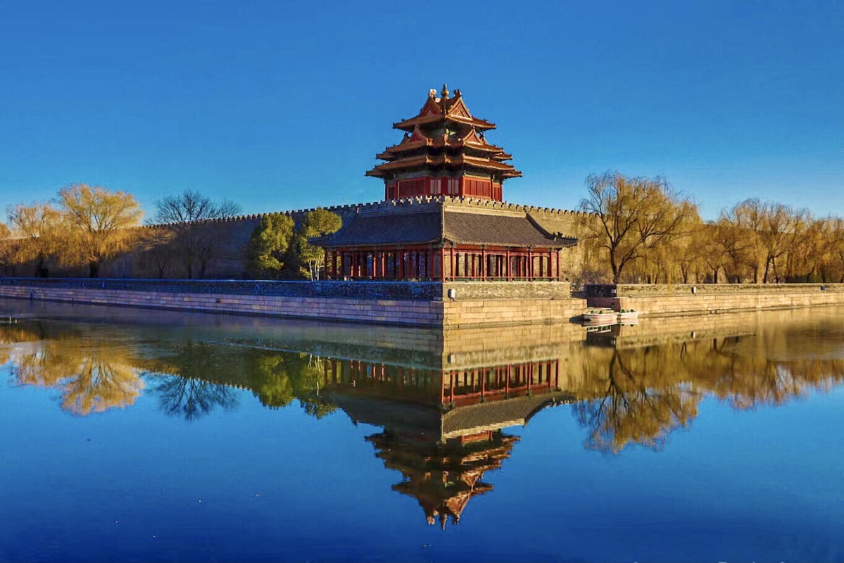
My first visit, to the capital, in 1987 was short, mainly taking in grand architectural masterpieces dating back to the Ming Dynasty (1368-1644). Seven years later, in 1994, I returned to Beijing, staying in a hutong alley near Yonghegong (Lama Temple). Walking daily, I started to appreciate a pattern, a certain order regarding the orientation of alleys, the location and layout of dwellings such as traditional siheyuan courtyard homes. It was fascinating, but what of the story and history of the city, why did some of it appear as almost a chessboard pattern?


